

Executive Summary
Quick Spot Drones provides high-precision commercial drone services across Far North Queensland (FNQ). The business utilises the DJI Mavic 3 Enterprise (M3E) to deliver rapid, accurate, and safe aerial data under the Very Small, Excluded Catagory RPA of Part 101 of CASR. We focus on four core areas: asset inspection, civil construction photography, precision mapping, and cyclone disaster data collection.
Core Services
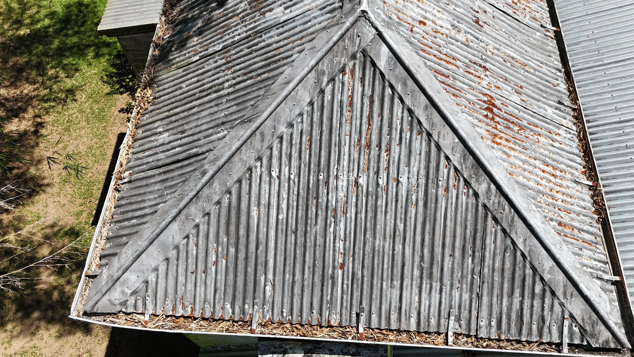
Asset Inspection: High-res visual monitoring of critical infrastructure. This includes powerlines, communication towers, bridges, and commercial roofs.
Civil Construction Photography: captures project progress for monthly reports, marketing materials, and team profiles, while also providing vital visual records for post-severe weather inspections under the project severe weather management plan.
Precision Mapping: High-accuracy 2D orthomosaics and 3D terrain models. These support civil construction, agricultural runoff tracking, and environmental monitoring.
Cyclone Disaster Response: Rapid deployment for post-cyclone damage assessment. We provide real-time situational awareness for councils, insurance adjusters, and emergency services.
Equipment Capability
The DJI Mavic 3 Enterprise is uniquely suited to the harsh and remote FNQ environment:
Mechanical Shutter: Eliminates motion blur for crisp mapping flights at high speeds.
56× Hybrid Zoom: Allows safe, detailed inspections of live assets from a distance.
Near Survey Level: Delivers centimetre-level positional accuracy without extensive ground control points.
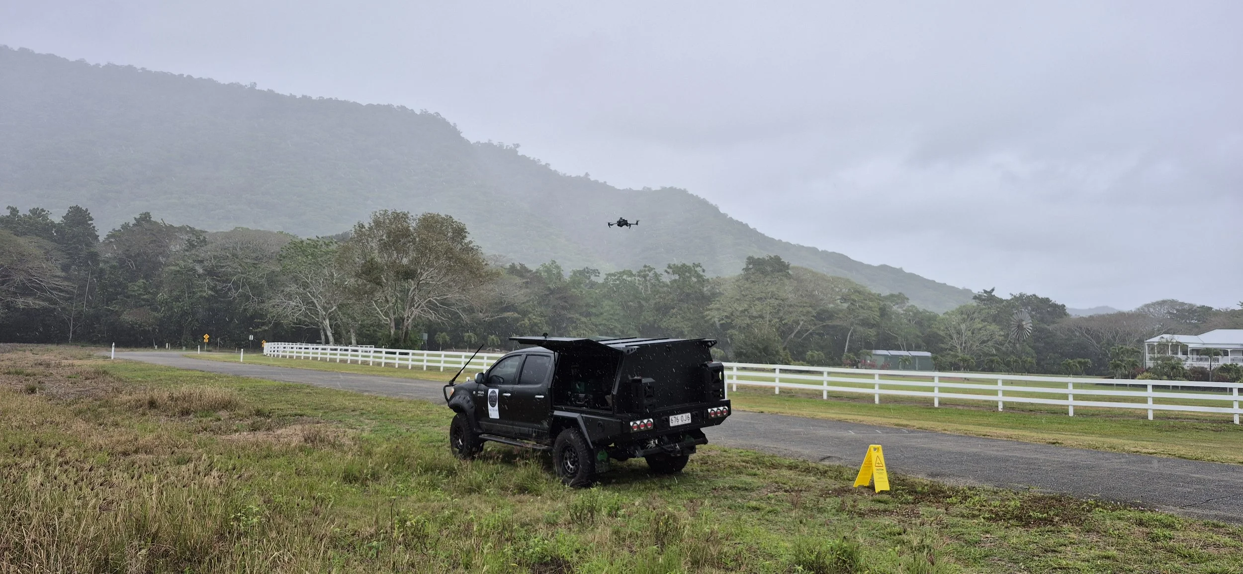
Portability: Packable design allows quick deployment via 4WD or helicopter to remote communities.
Market Opportunity & Value Proposition
FNQ features unique logistical challenges, including vast distances, dense rainforest, and severe weather. Traditional ground inspections are slow, costly, and hazardous.
Our drone operations reduce asset inspection times by up to 70%. We eliminate the need for working at heights, significantly lowering workplace health and safety risks. During cyclone season, our rapid data turnaround helps authorities deploy recovery resources efficiently to cut off or damaged communities.
Operational Compliance
CASA Remote Pilot Licence (RePL).
Strict compliance with airspace restrictions near Cairns and airspace management in remote areas.
$10M Comprehensive public liability insurance tailored for industrial asset inspection and disaster zones.
Target Client Segment Strategy
Sugar Mills: Remote monitoring of cane rail networks, rolling stock, boiler infrastructure, and chimney stacks to minimize processing downtime.
civil construction industry: Photography for progress claims, finished works, bridge inspections, towers, powerlines etc
Local Councils: Rapid structural checks of regional bridges, water treatment plants, and local road networks before and after the wet season.
Government Departments: High-resolution environmental mapping for erosion control, catchment runoff tracking, and national park track assessments.
Insurance Companies: Accelerated post-cyclone property damage assessments and roof inspections to streamline claims processing for catastrophe zones.

Proudly supporting Gordonvale local business as a member of the 360 Fitness community
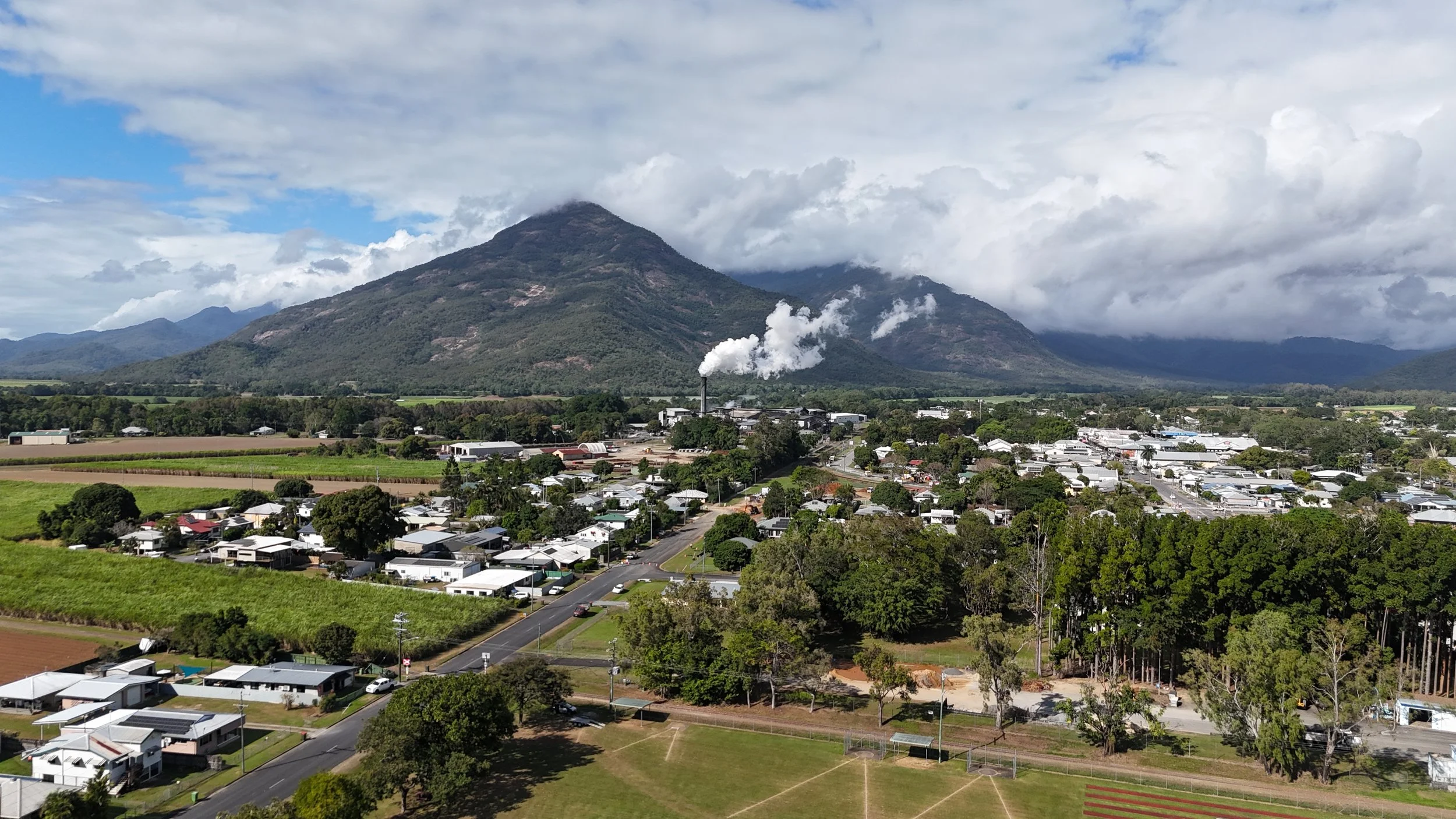
Looking South from Johnson Park, Gordonvale with the Mulgrave Central Sugar Mill and Walsh’s Pyramid in the background taken at 50m above ground level. July 2025.
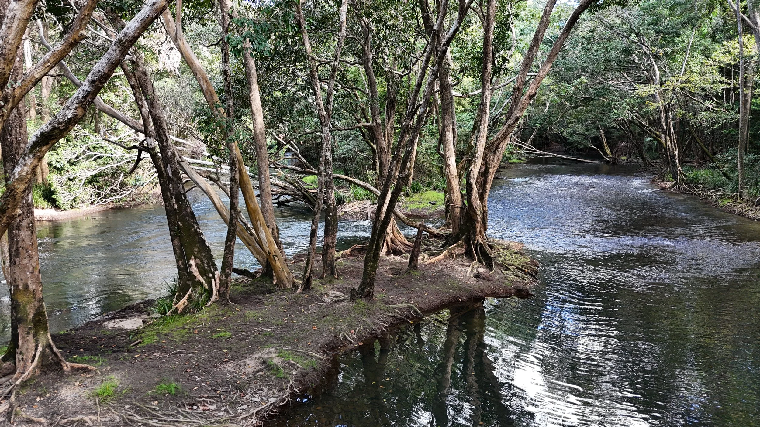
Mulgrave River at Lower Locke, downstream from Peet’s Bridge. July 2025.

Babinda RSL Hall 25 Aug 2025
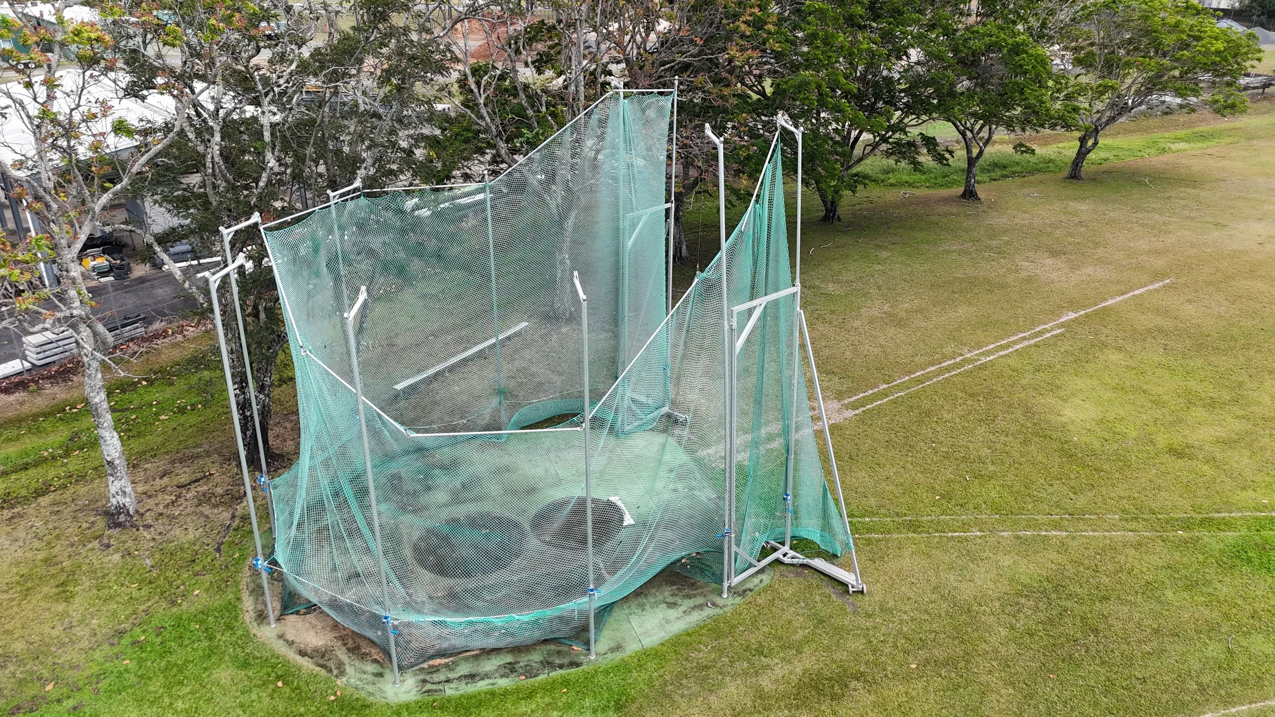
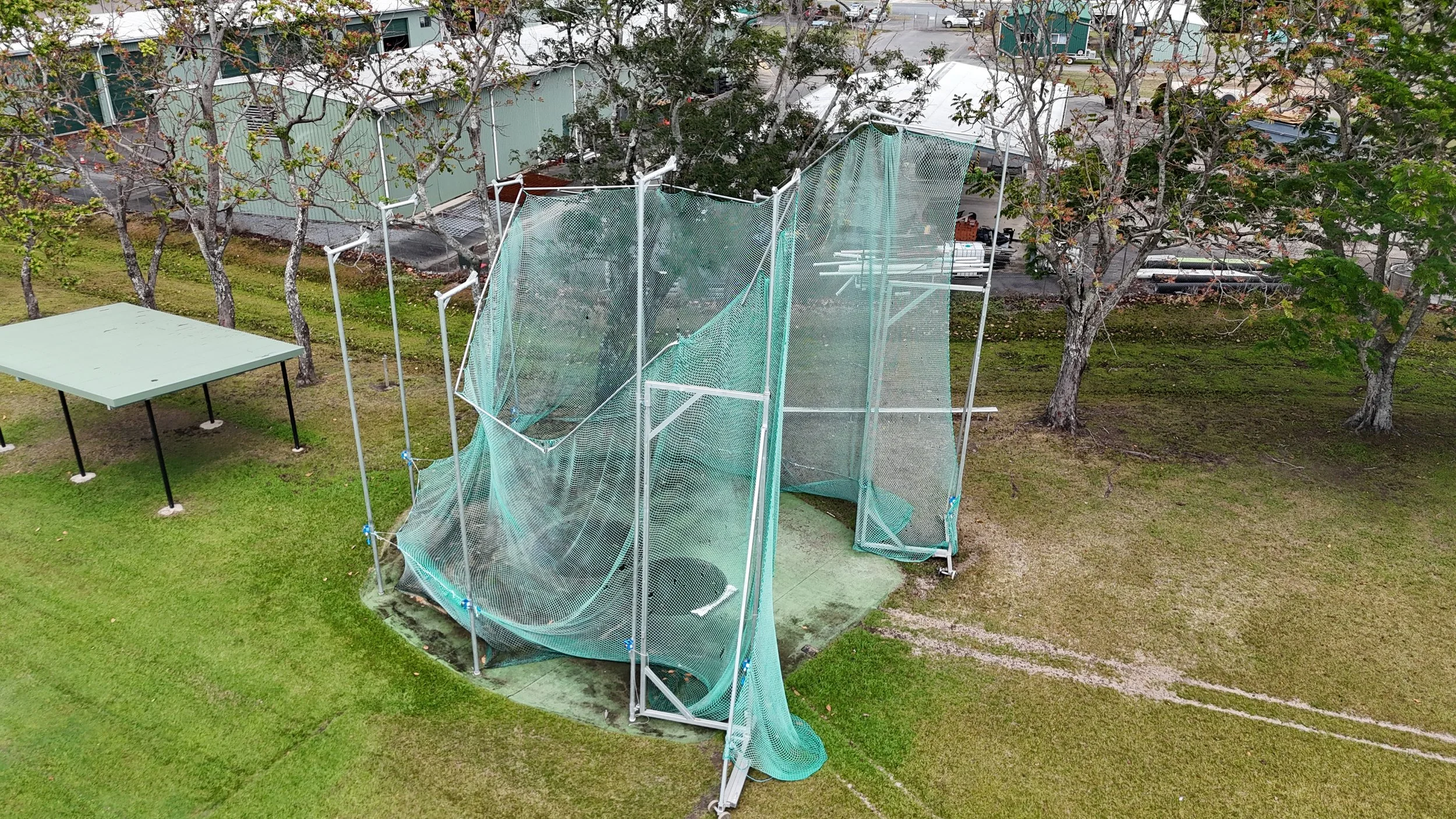
Parks and Amenities
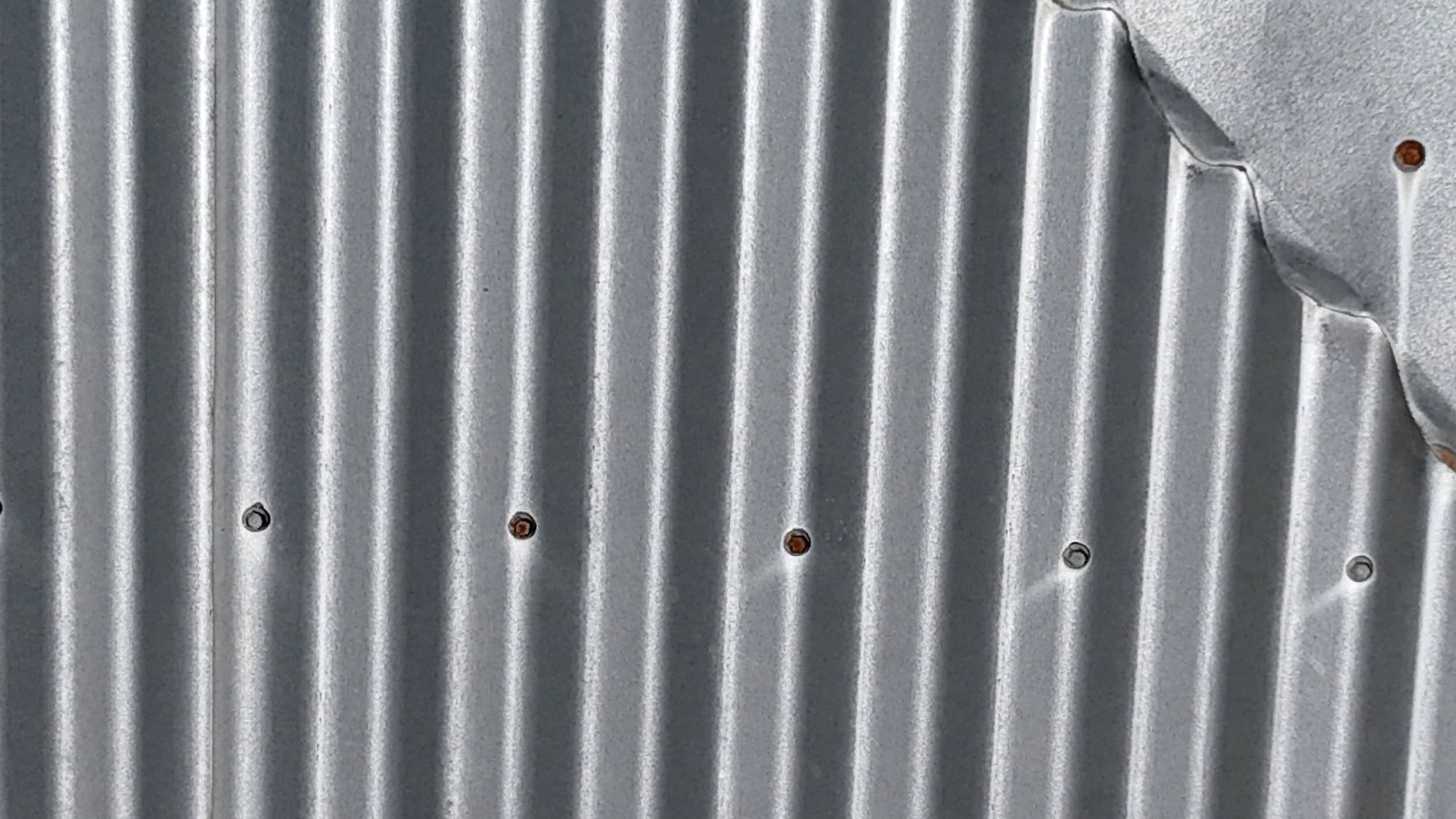
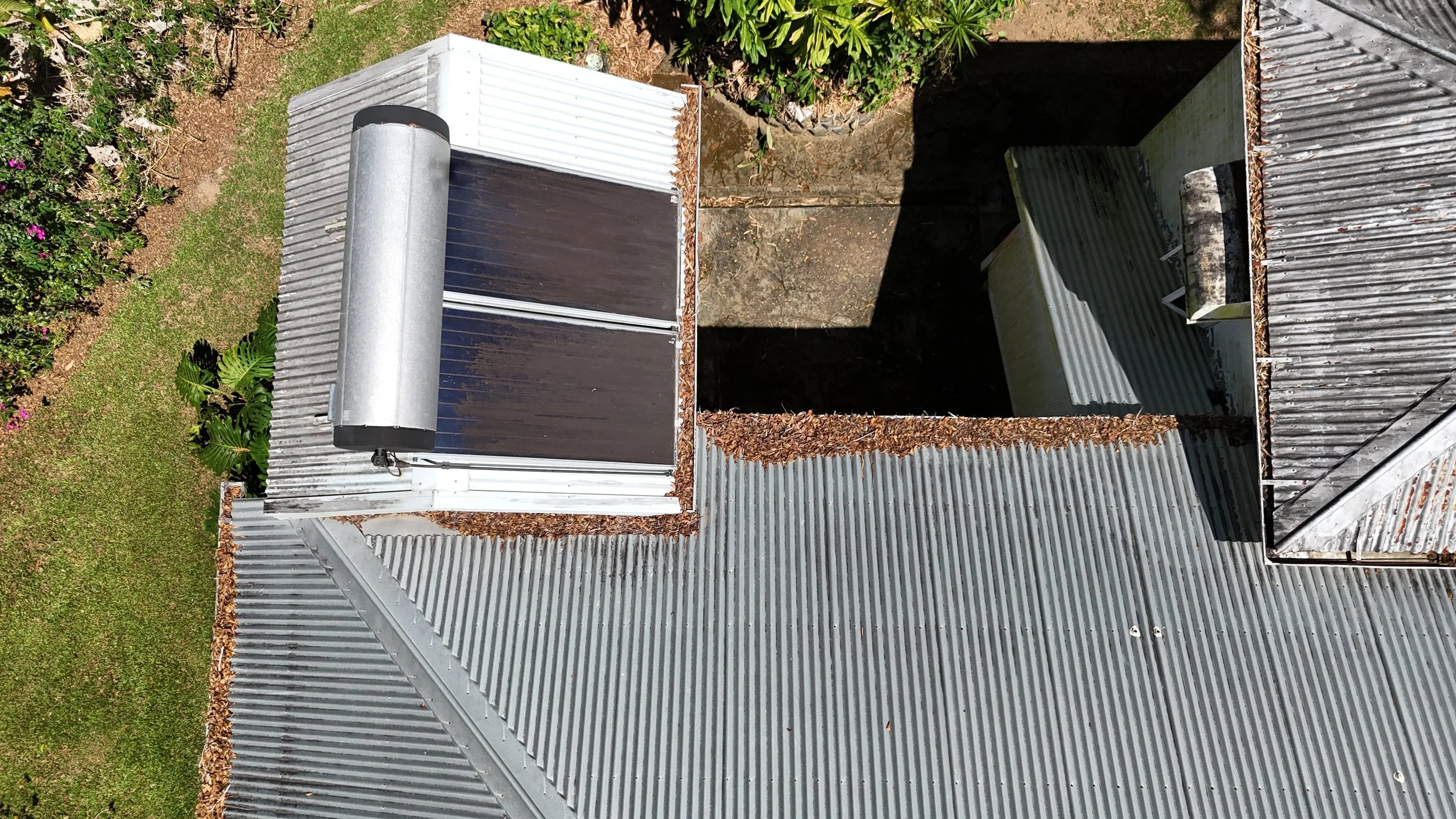
Roof checking
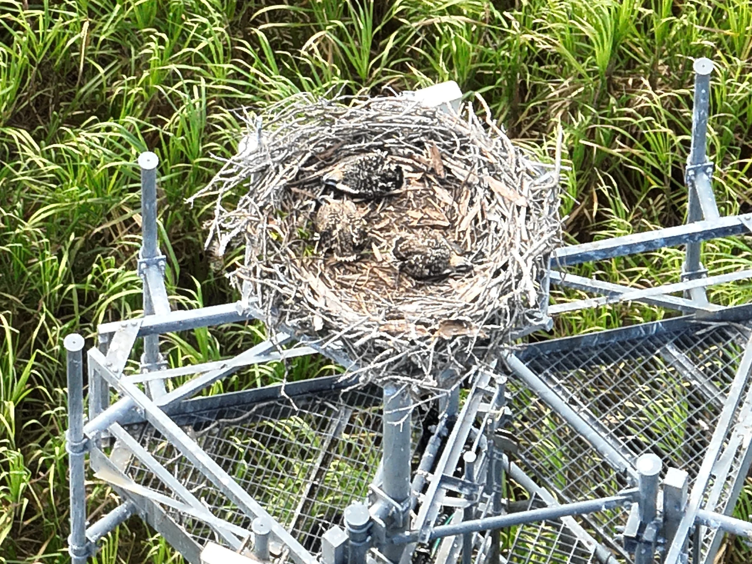
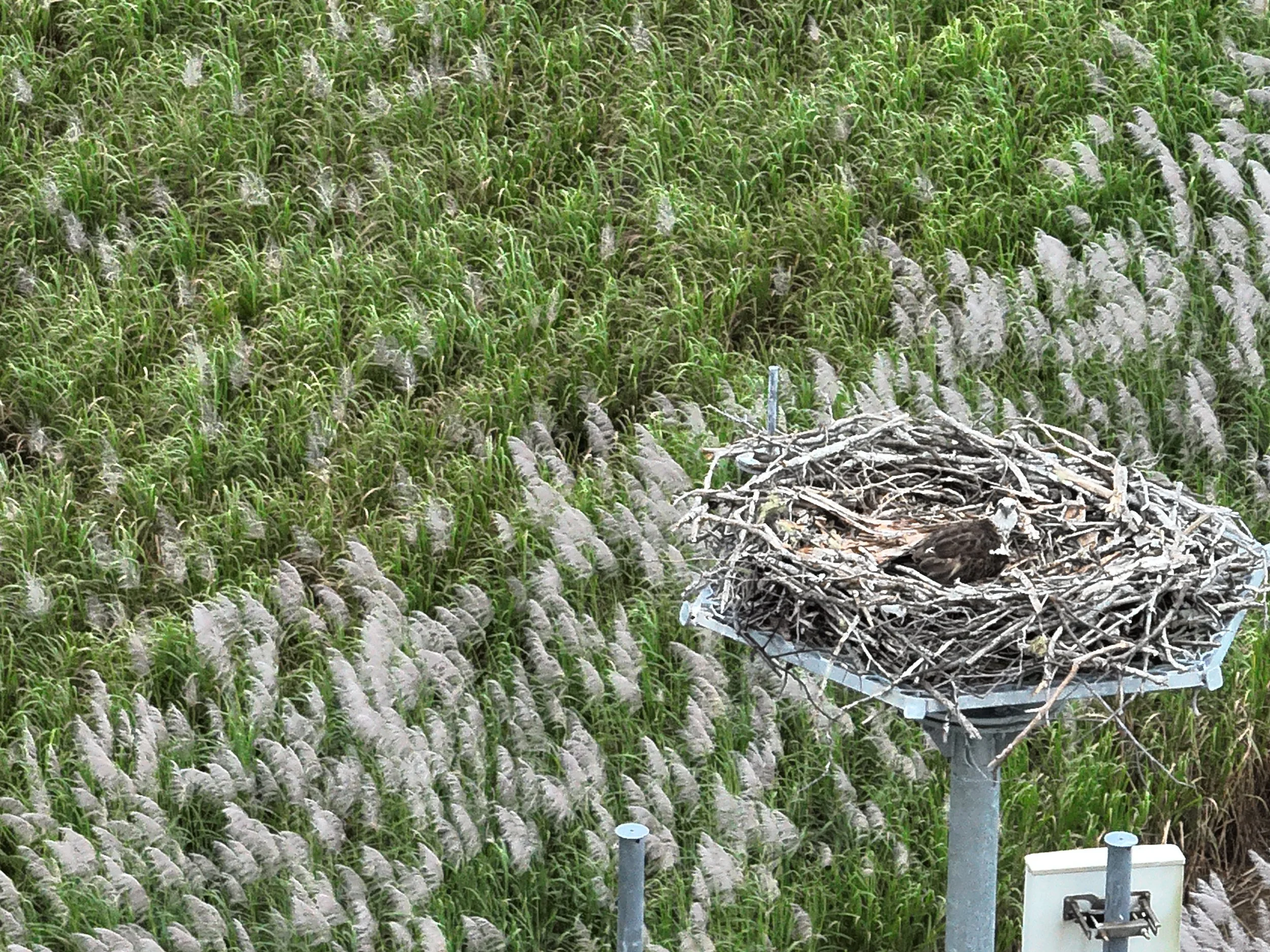
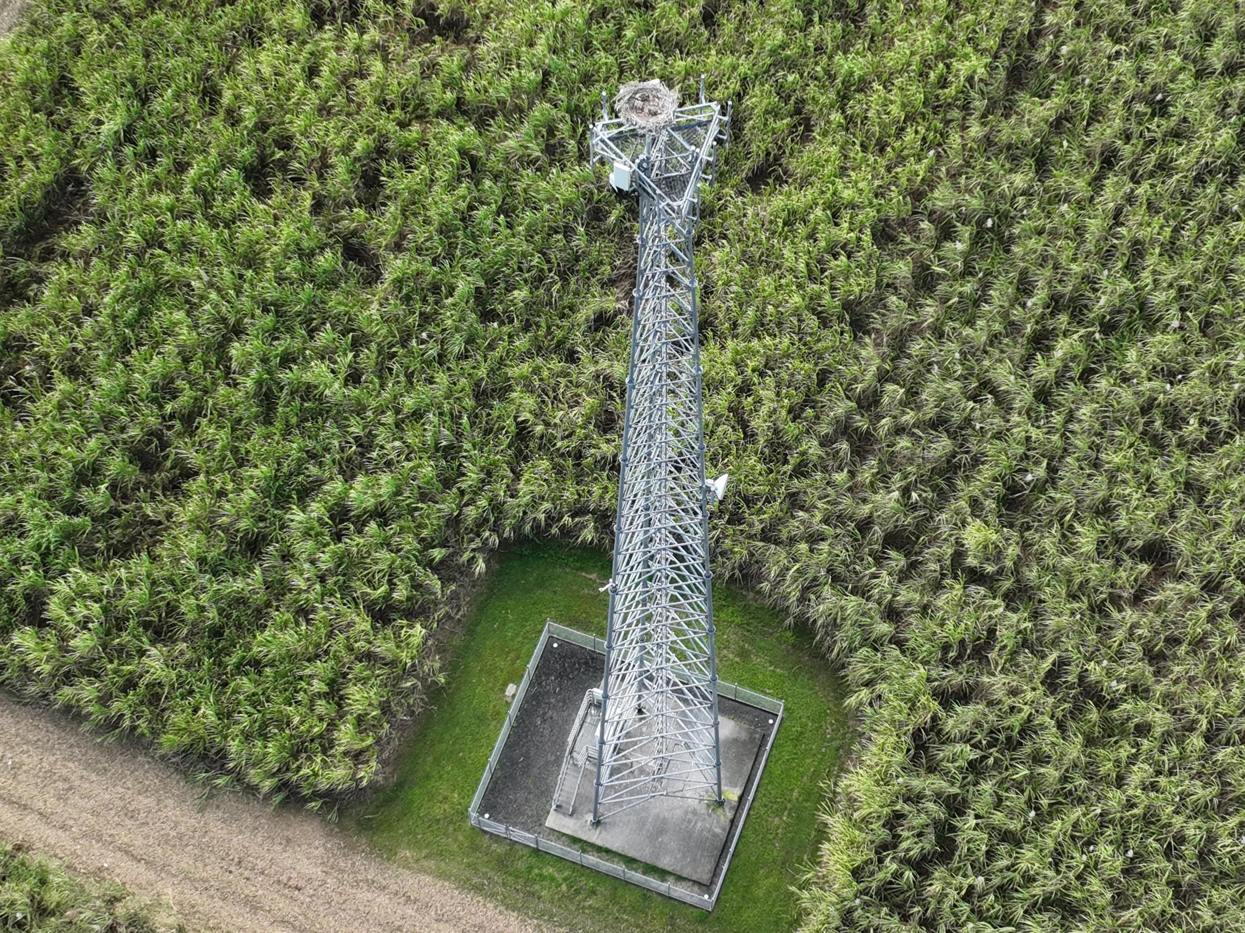
Wildlife check on vital infrastructure
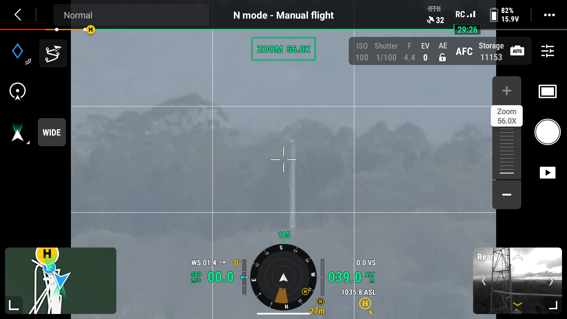
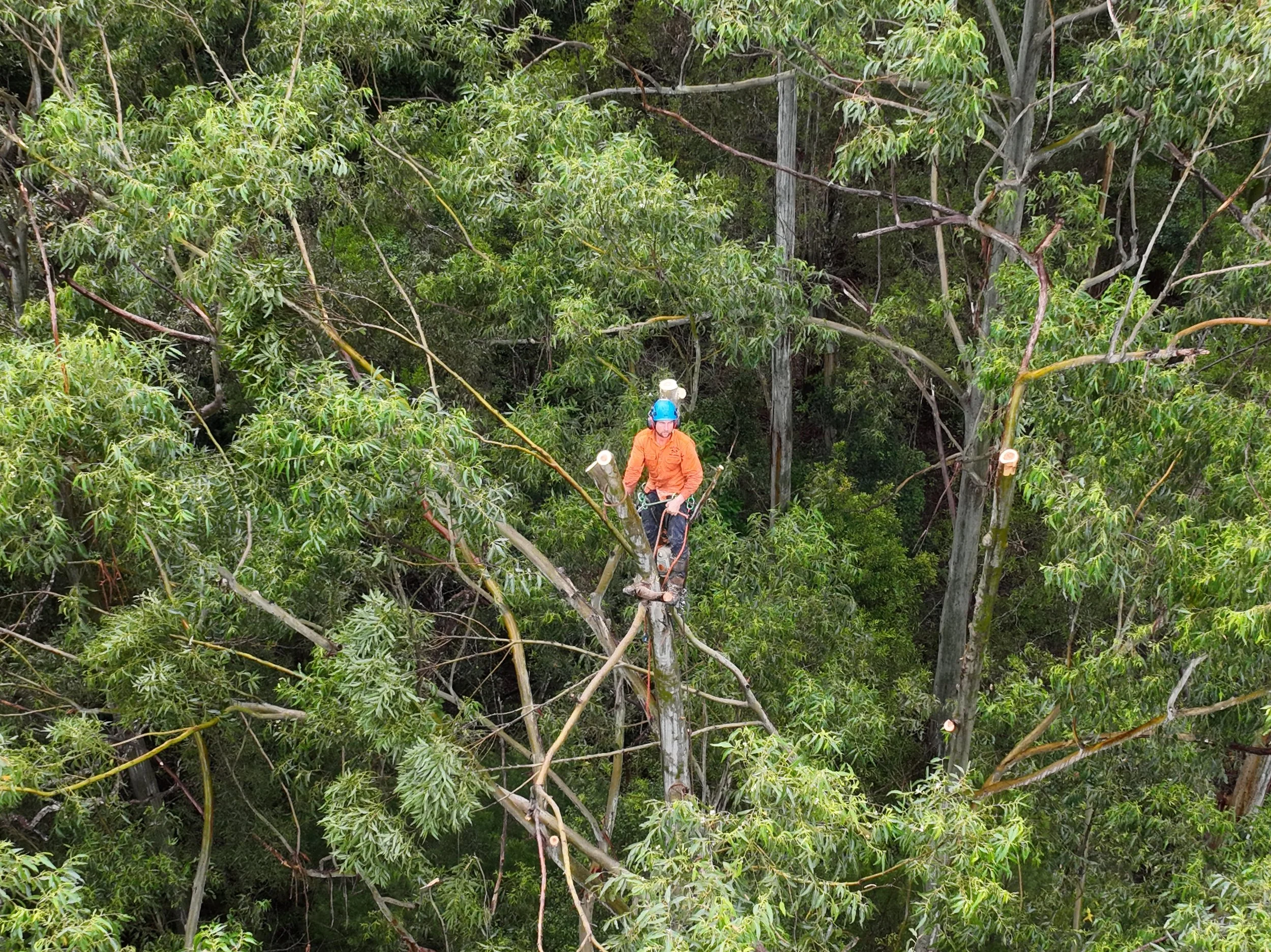
Clearing line of sight for infrastructure
Ravenshoe June 2026
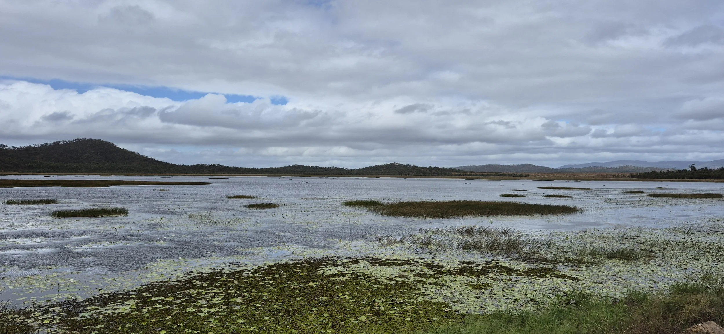
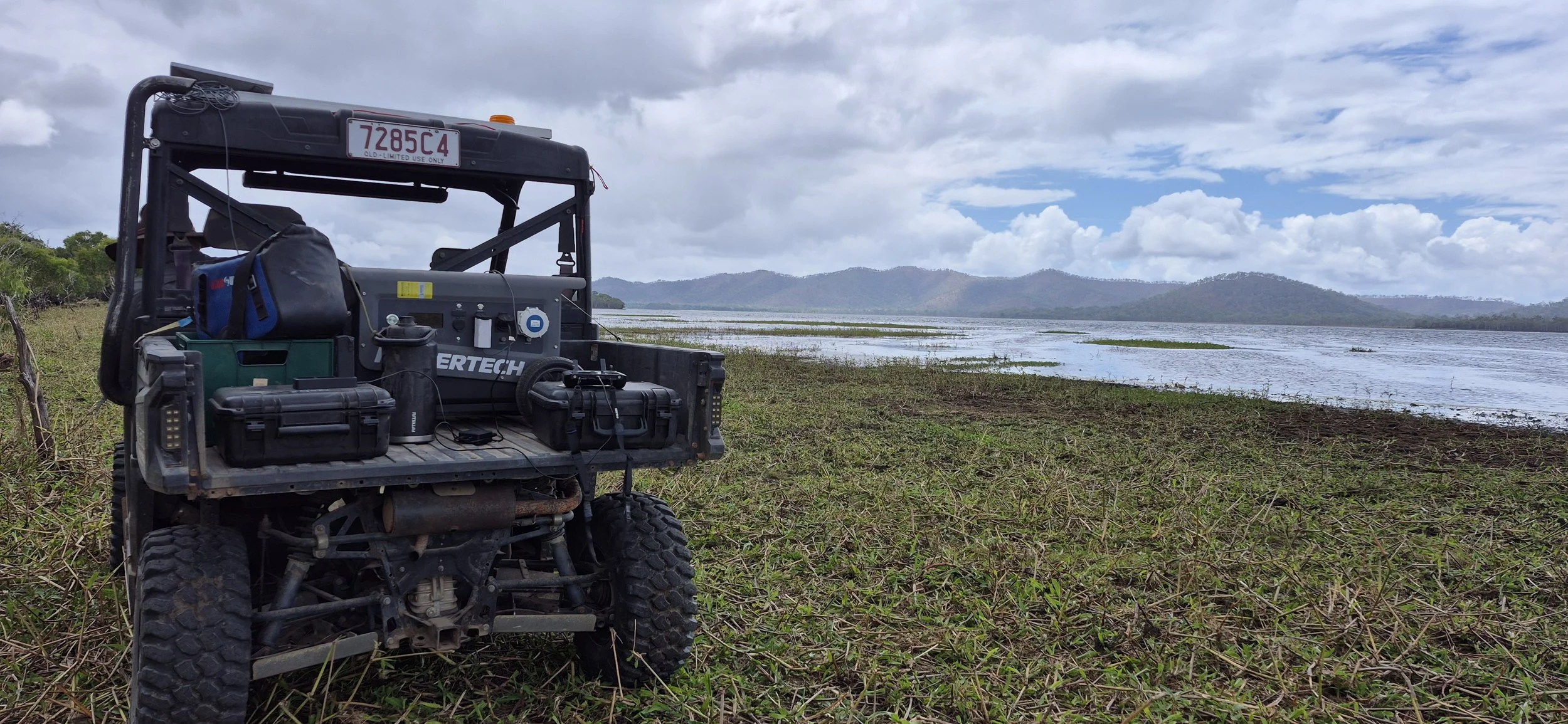
Mapping at Quaid Dam