Strategic Value Proposition
Operating in Far North Queensland requires a deep understanding of local industrial and environmental pressures. For sugar mills, a single day of unexpected downtime during the crushing season costs hundreds of thousands of dollars. Our Mavic 3E operations identify structural weaknesses early.
For councils and government bodies, we replace hazardous manual inspections of remote assets with safe, repeatable aerial data. When a cyclone hits, we act as a force multiplier for insurance companies. We deploy immediately into disaster zones to capture high-resolution imagery before road access is fully restored.
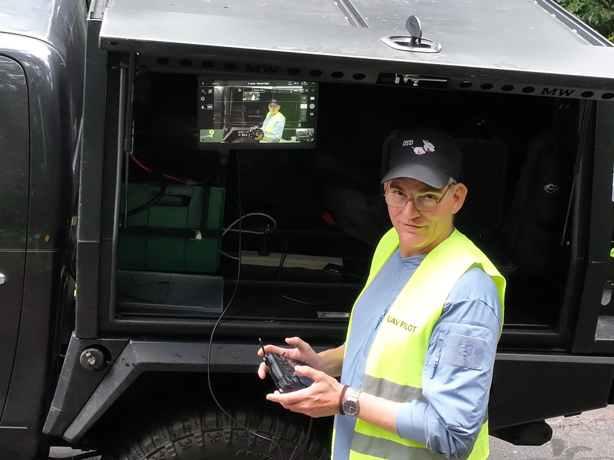
To assist clients Quick Spot has a 1,200 nit, daylight bright, 15 inch monitor to allow you to view what our drone can see in UHD clarity, as well as Starlink at 200 Mbps for real time GPS corrections to our drone and for client use.
📌 Financial Pricing Model
Hourly Rate:$120 per hour for short-duration assignments, specific asset troubleshooting, and localized aerial inspections.
Daily Rate:$1,000 per day (based on an 8-hour operational day) for large-scale mapping, multi-site infrastructure projects, and disaster deployments.
Travel & Logistics: Baseline rate 90c per kilometer travelled is billed for vehicle based operations, with specialized travel and mobilization fees applied for remote transit.
🗺️ Geographic Reach & Operational Logistics
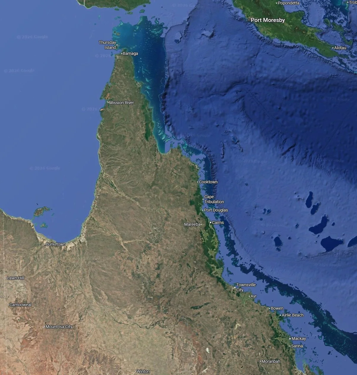
Southern Boundary: Covering down to Sarina to Mount Isa to service regional sugar mills, industrial assets, and coastal infrastructure networks.
Northern Peninsula: Extending up Cape York to provide remote councils and government departments with critical infrastructure mapping.
Maritime Border: Servicing the Torres Strait Islands and Gulf Communities via regional aviation or marine transit for localized disaster response and environmental tracking.