
Close-up of a circular patch on a tactical vest featuring a drone illustration, with the words "Quick Spot Drones," and the tagline "Find Fix Forward."
Cartoon illustration of a happy, running white dog with pink tongue and pink collar.

Executive Summary

Quick Spot Drones delivers rapid, high-precision data acquisition across Far North Queensland using:

  1. DJI Mavic 3 Enterprise under CASA’s Very Small (sub-2 kg) Excluded Category, and

  2. Matterport Pro 3

We specialise in four core services:

  • Asset inspection – powerlines, towers, bridges, roofs and sugar-mill infrastructure

  • Civil construction photography – progress records, marketing and post-weather checks

  • Precision mapping & internal 3D digital twins – orthomosaics and terrain models for construction, environmental monitoring and asset management

  • Cyclone disaster response – fast internal and external damage assessment for councils, insurers and emergency services

Why this model works in FNQ
Vast distances, dense terrain and severe weather make traditional inspections slow and hazardous. Our portable sub-2 kg platform deploys quickly by 4WD or helicopter, cuts inspection times by up to 70 %, and removes the need for working at heights — all at lower cost than full ReOC + EVLOS operators.

Ideal for local councils, sugar mills, civil contractors, government agencies and insurers who need agile, reliable data without the overhead of larger, longer-range operations.


Proudly supporting Gordonvale local business as a member of the 360 Fitness community
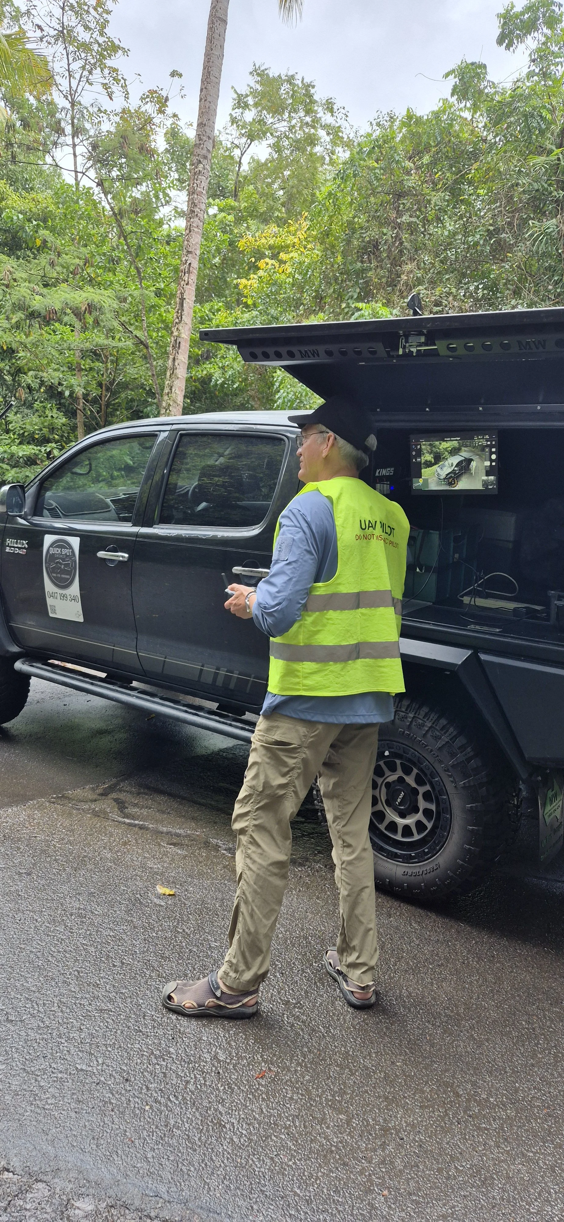
UAV pilot wearing a neon yellow safety vest and hat, standing in front of a building with a sign reading 'BABINDA R.S.L. Memorial Hall.' There is a yellow caution sign on the ground and some shrubbery.

Babinda RSL Hall 25 Aug 2025

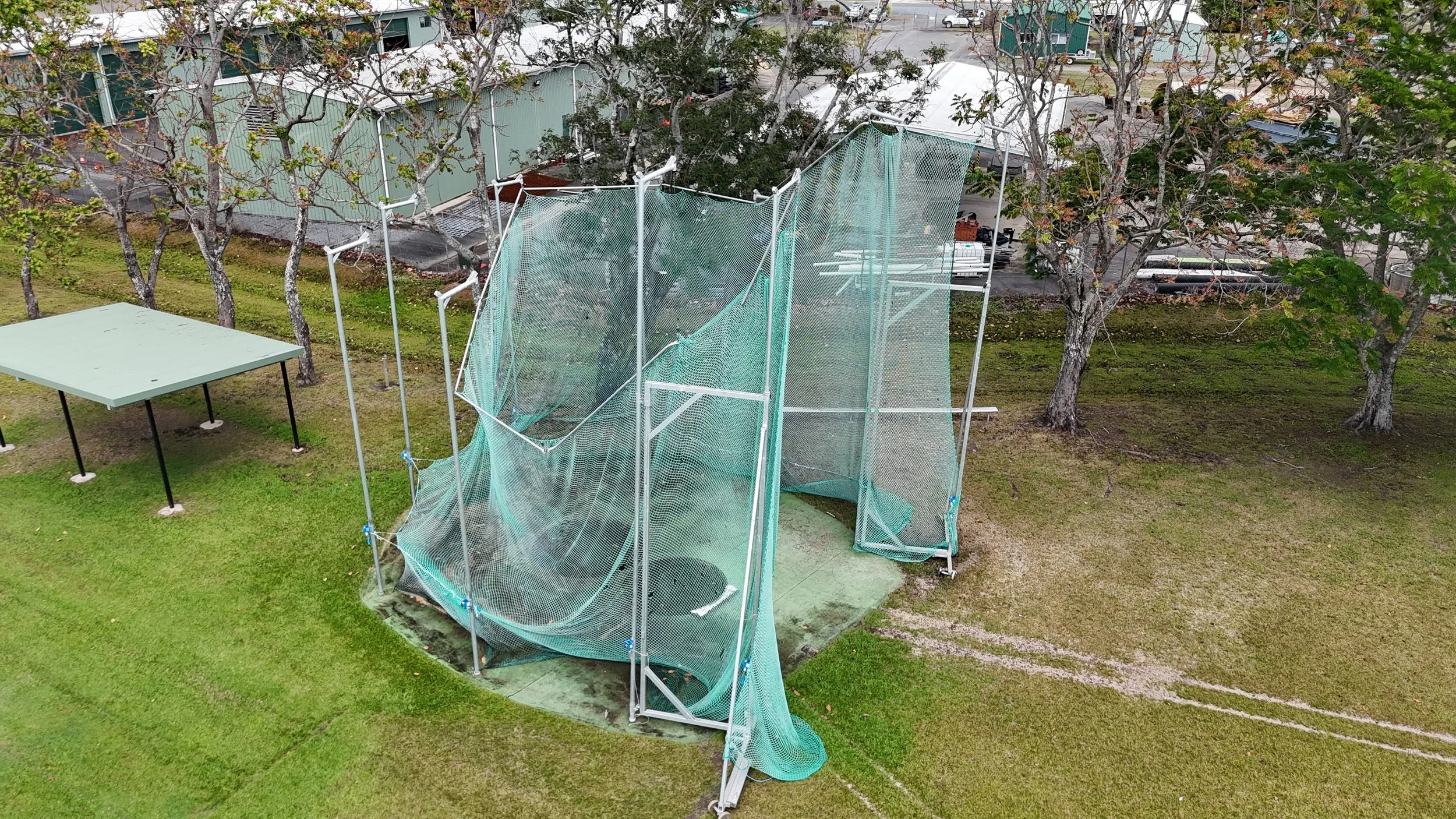
An outdoor batting cage with a green net and white frame, located in a grassy area with trees. A green roofed building and parking lot are visible in the background.
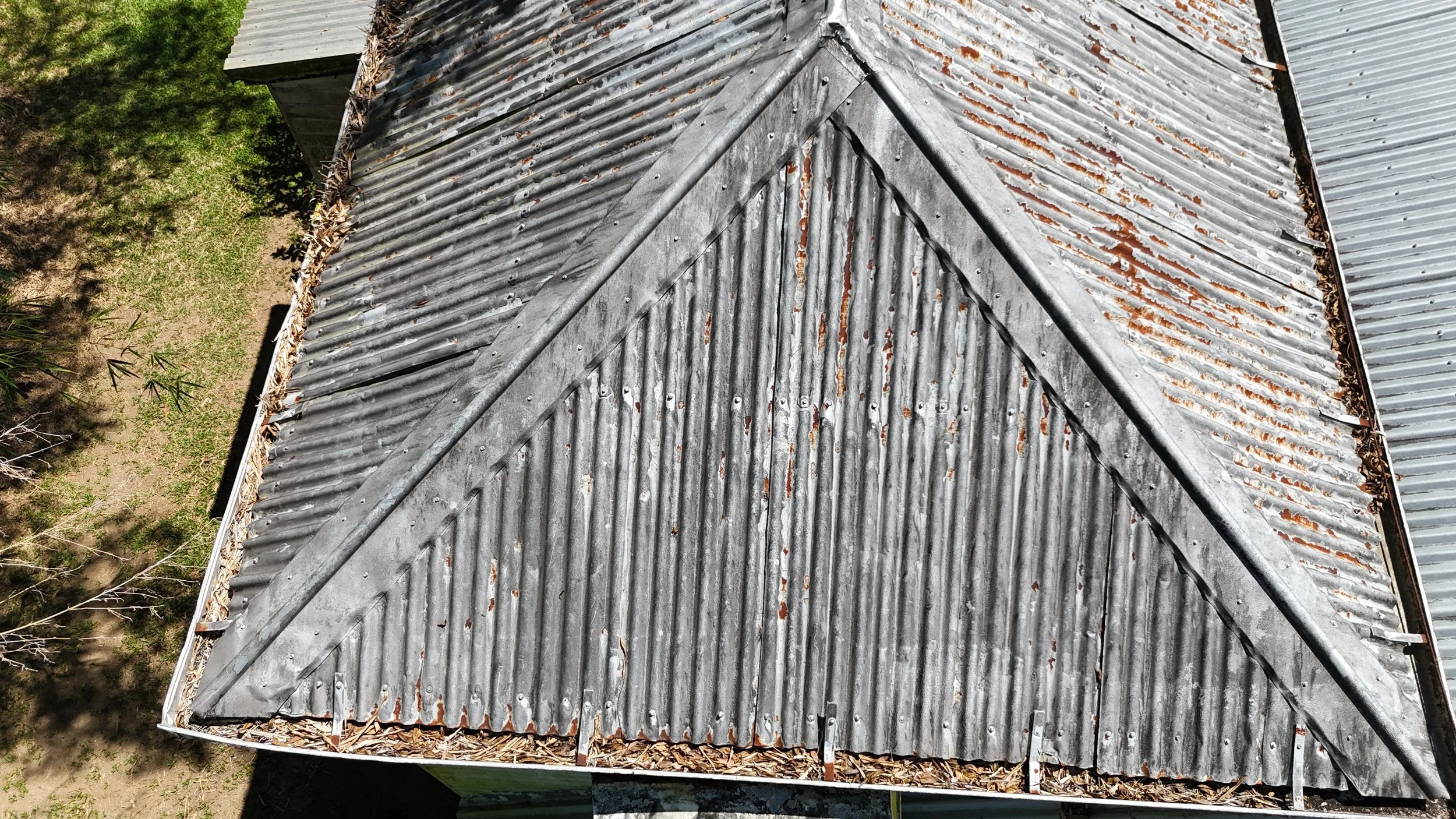
A weathered metal roof with rust spots and dried leaves along the edges, viewed from above, with green trees nearby.

Parks and Amenities

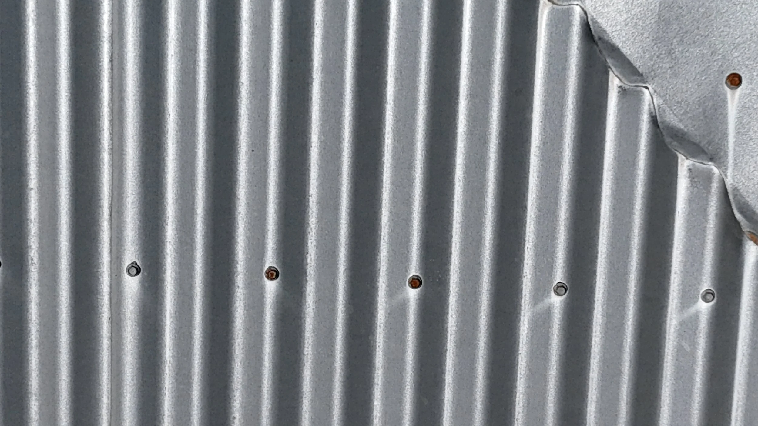
Close-up of a corrugated metal surface with some rusty screws.
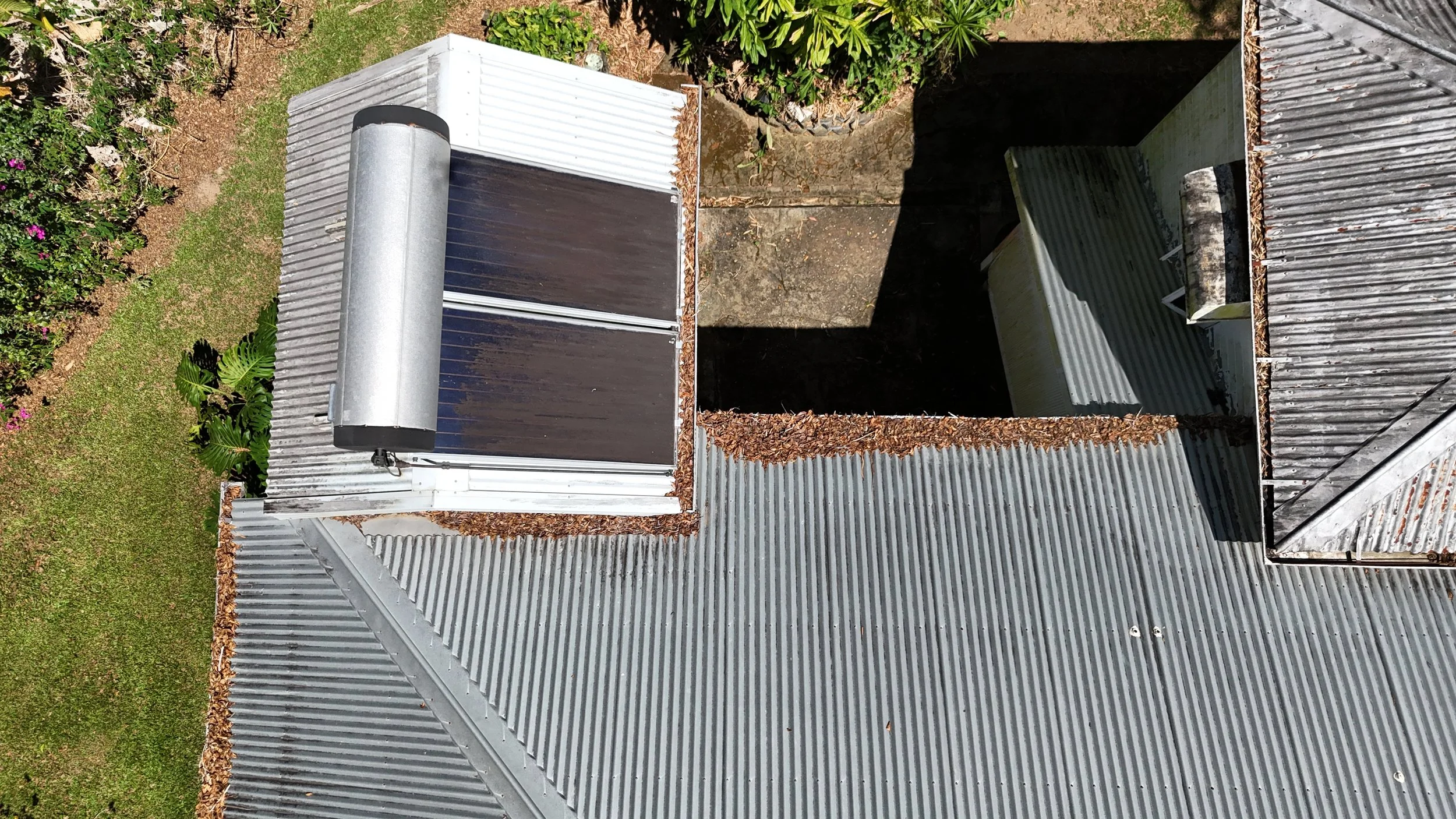
A view looking down at a small rooftop structure with a cylindrical vent, surrounding gray metal roofing, and an adjacent open area with leaves and debris. Vegetation and grass are visible nearby.

Roof checking

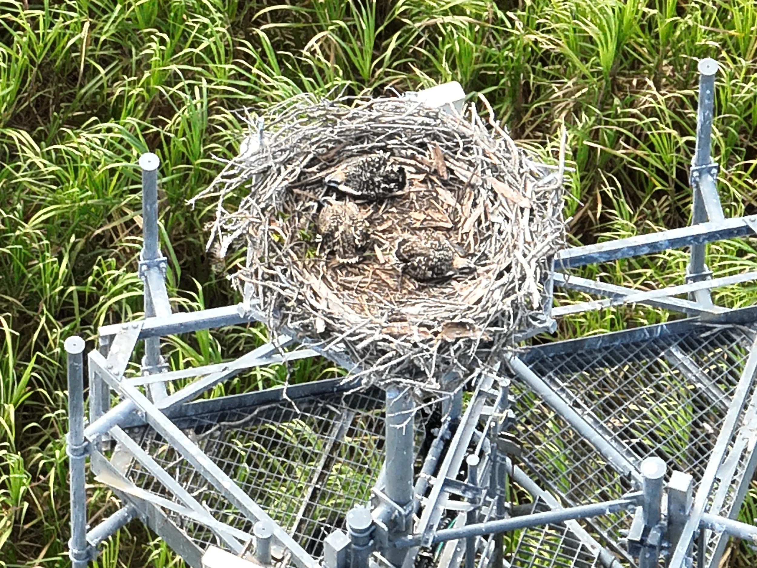
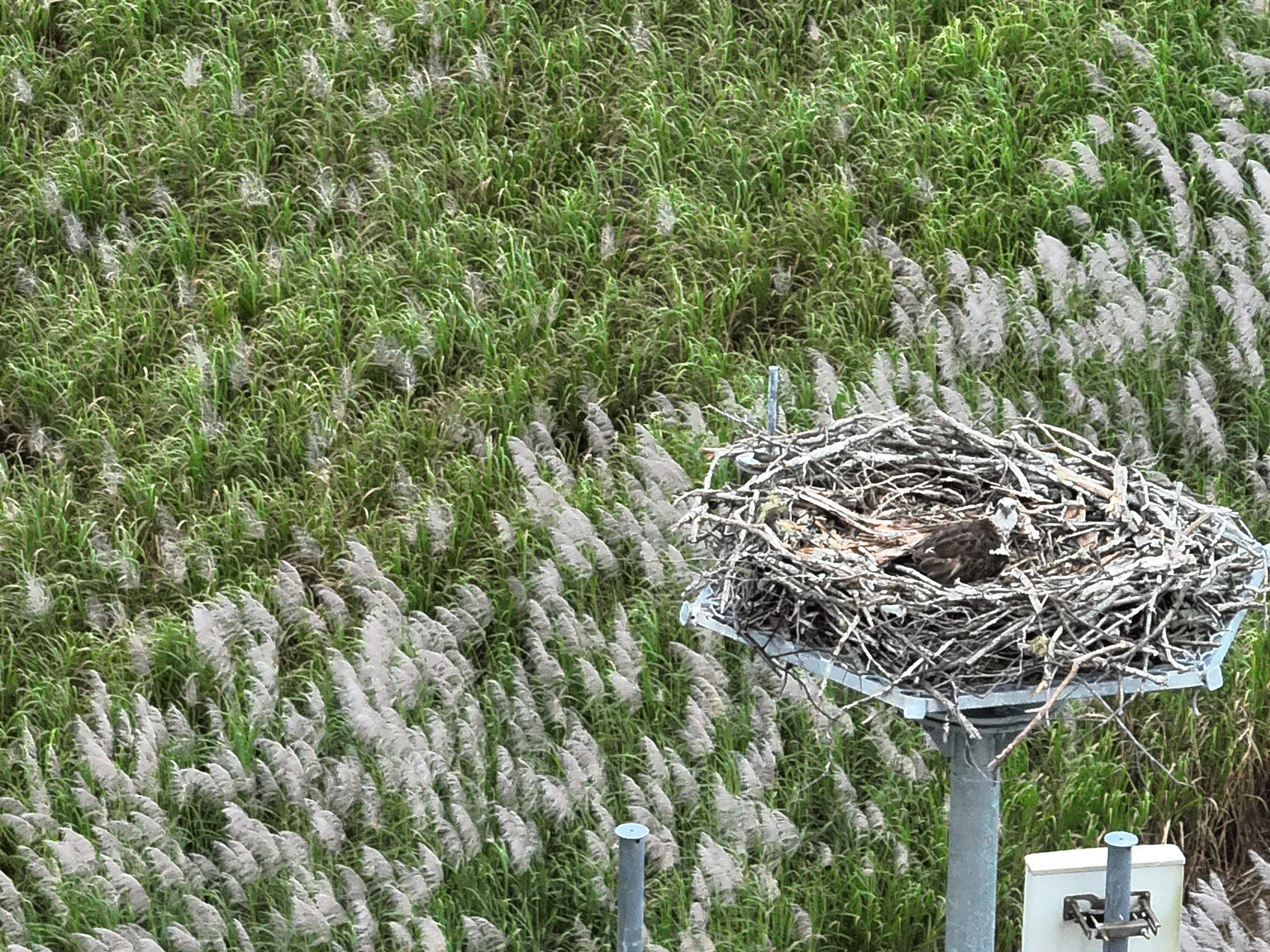
A bird sitting on the edge of a nest inside a metal structure, with green grass in the background.
A section of a power line in a field with tall grass and dead trees in the background.
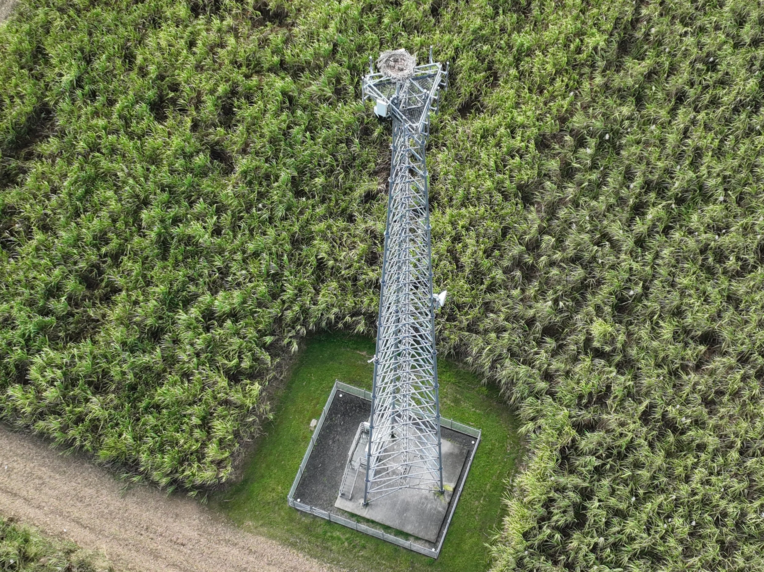
A tall metal communication tower surrounded by a dense field of green plants.

Wildlife check on vital infrastructure
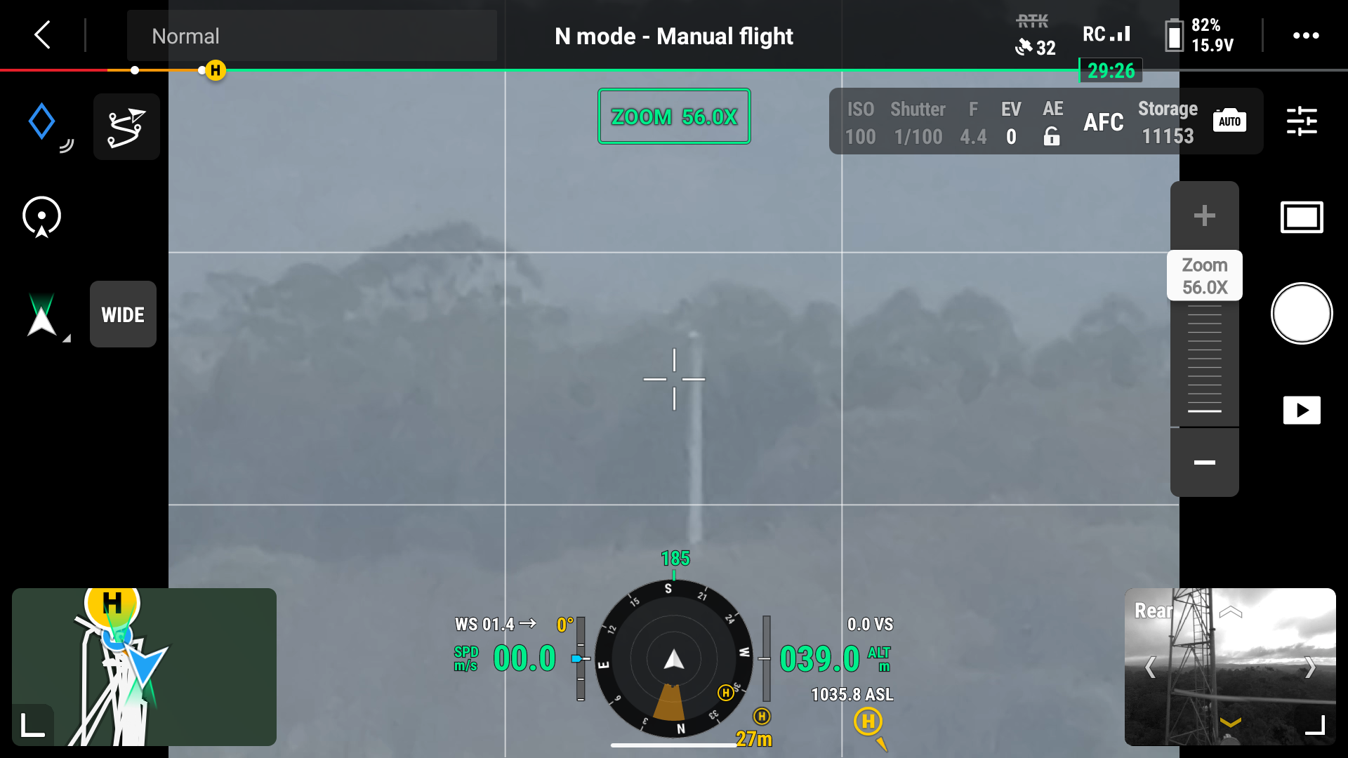
View from a drone or aircraft camera showing smoke rising from a distant fire with clouds in the sky. The interface overlay indicates it is in manual flight mode, with zoom level 56.0X, and various flight data including altitude, speed, and compass heading.
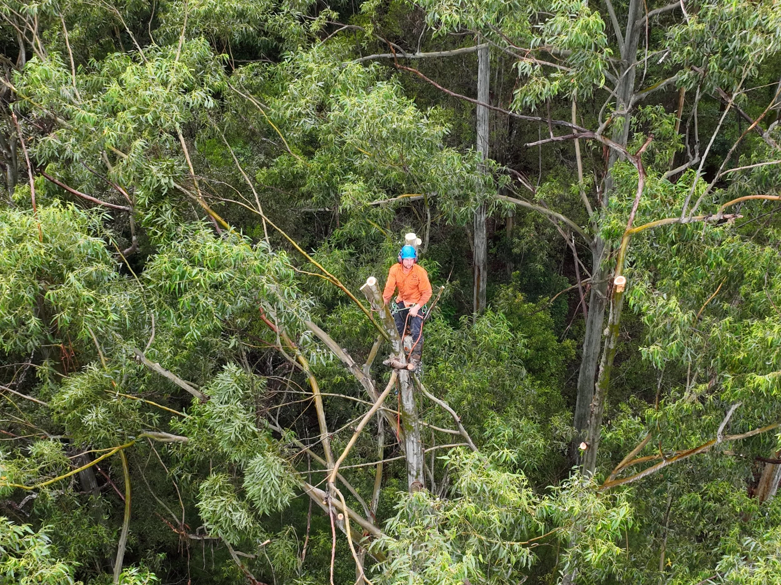
Tree removal worker in orange uniform and blue helmet using chainsaw on a large tree in a dense forest.

Clearing line of sight for infrastructure
Ravenshoe June 2026
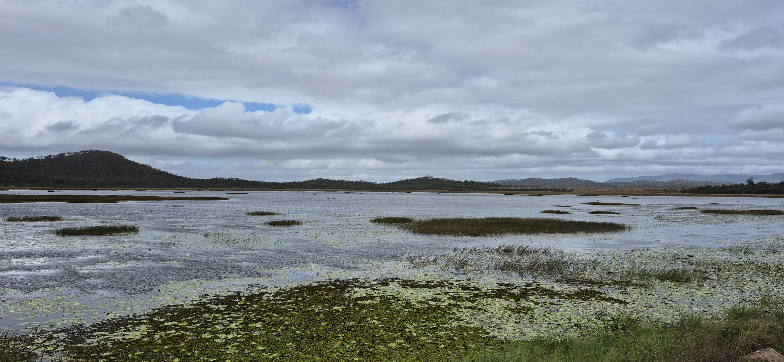
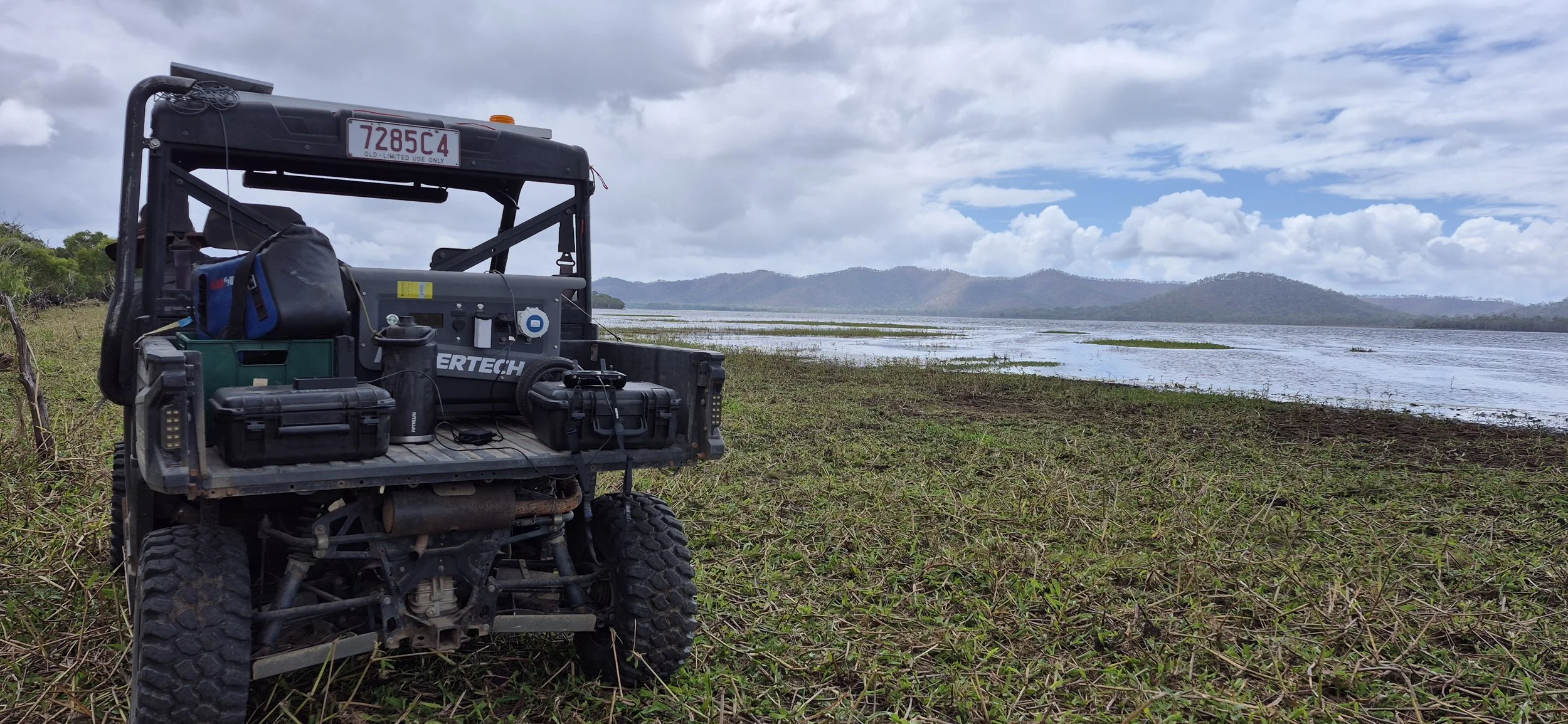
A wide view of a wetland or marsh with water, grass patches, and lily pads, with mountains and a cloudy sky in the background.

Mapping at Quaid Dam
September 2026

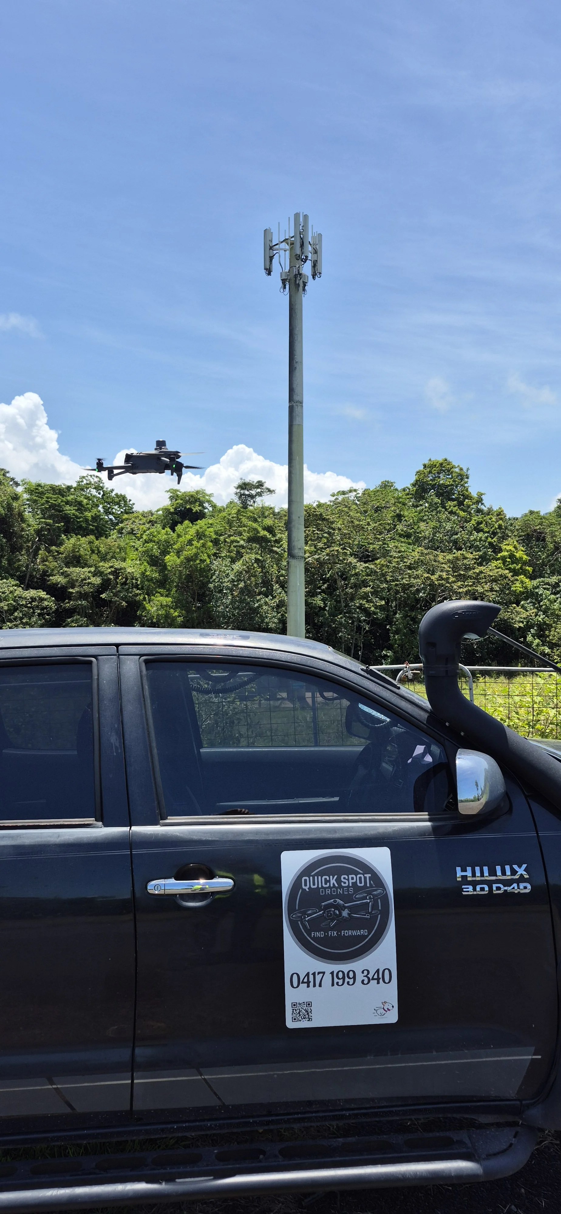
Telstra Monopole Mission Beach
Wildlife Survey
October 2026
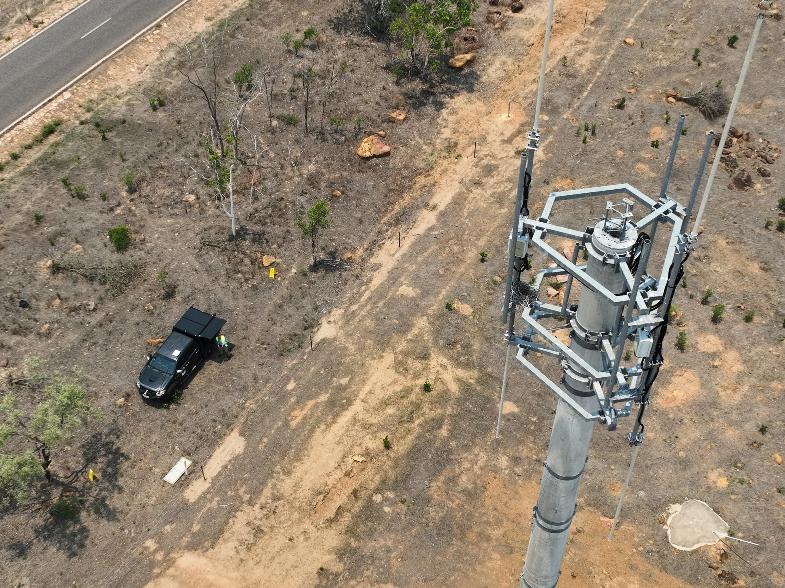
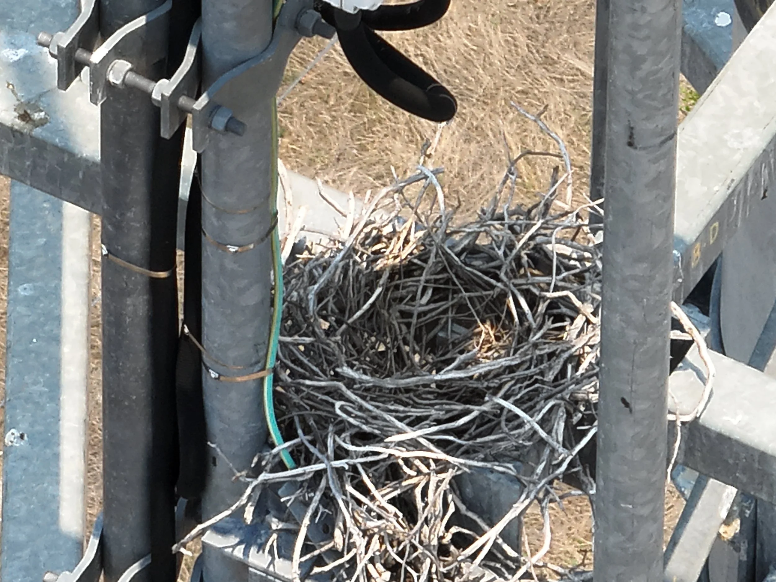
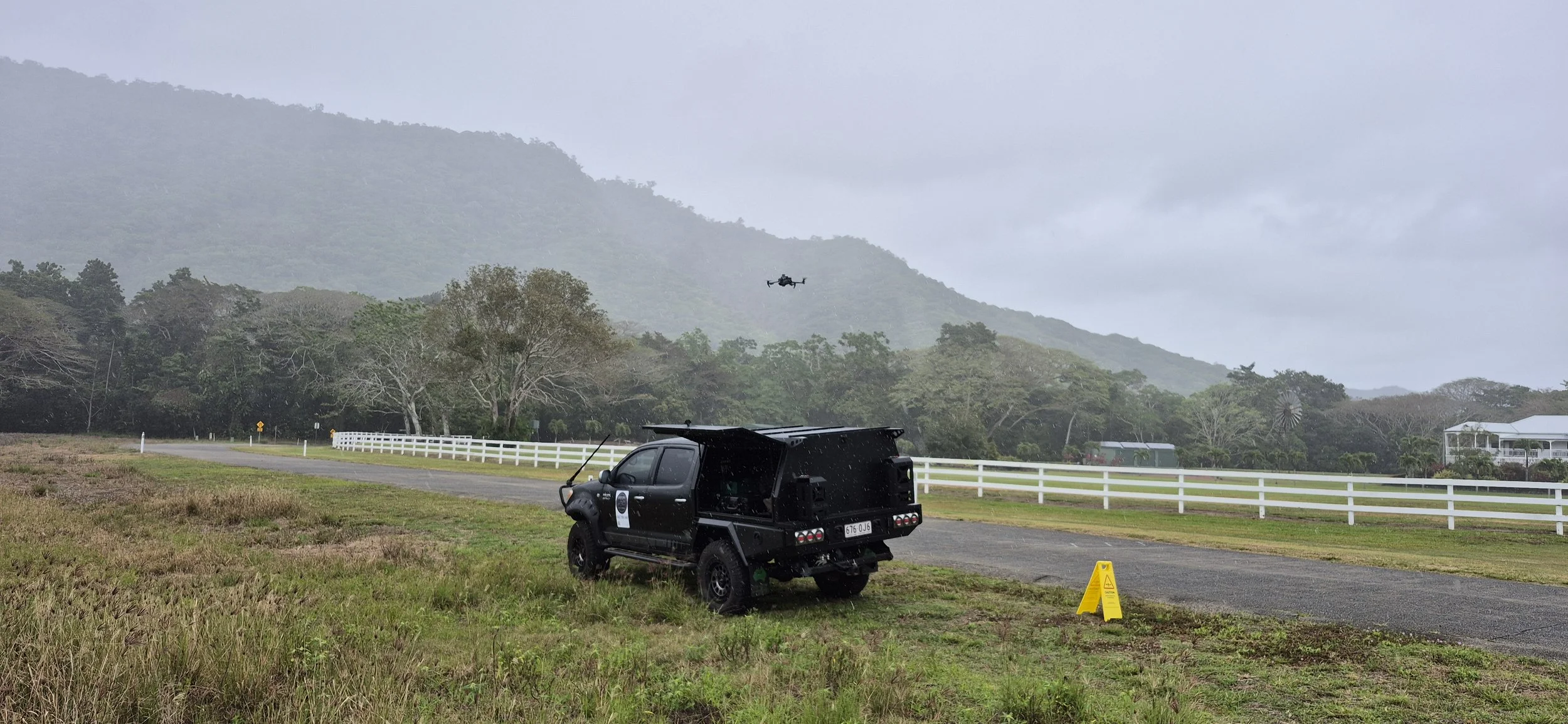
Telstra Monopole Gilbert River
Wildlife Survey
November 2026